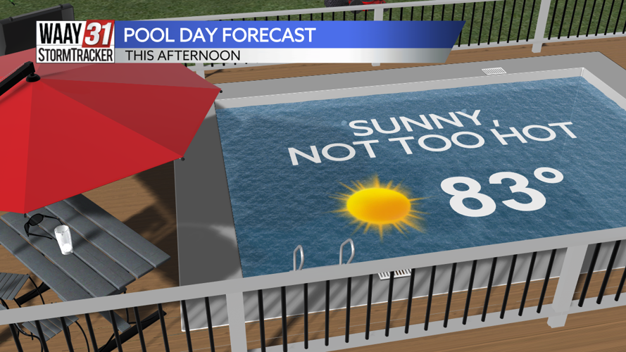


A touch of rain is in the region now, but it certainly won't last long. The very light rain will be out of our region by late morning and will be promptly replaced by sunshine! Monday's high temperature will be pleasant and below average, sitting in the low 80s. These pleasant temperatures, coupled with a nice breeze, will help conditions to feel near-perfect today.

We'll keep sunshine overhead all week long, thanks to a dome of high pressure. Tuesday features a high temperature in the low 80s, we're up to the upper 80s by Wednesday and the 90s take over right after that.

Thursday starts off what will be the first official heat wave of 2024 with 7 consecutive days of 90 degree temperatures expected. The hottest of the bunch will be Saturday, rising to the mid-90s and coupled with oppressive humidity.
MONDAY: AM scatt'd rain, Midday sunshine and perfect weather! High temperatures in the low 80s. Wind: NW 5-10 mph.
TONIGHT: Clear skies. Lows near 60. Wind: NE 5 mph.