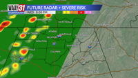

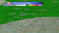

** LEVEL 1/5 RISK FOR SEVERE WEATHER THIS EVENING**
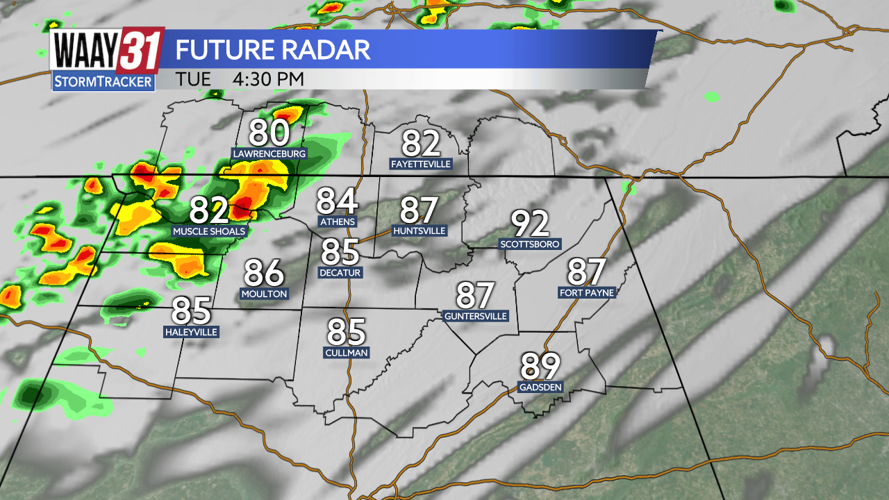
Conditions are calm and peaceful this morning with one or two drizzles possible but mostly sunshine overhead. By later this afternoon, a cold front will move through the area and bring strong to severe thunderstorms, enough to put our area in a level 1/5 risk for severe weather.

Storms tonight will be very hit or miss but the few that do develop could very easily turn severe. This on again, off again, nature of storms stays with us from late afternoon through the overnight hours.

Wednesday brings scattered rain throughout the day and Thursday will be yet another washout, thanks to, what will then be the remnant of, the system we are currently tracking in the Gulf.
Potential Tropical Cyclone Nine is expected to strengthen to a Category 1 Hurricane Helene by tomorrow afternoon and a Major Storm Category 3 prior to making landfall near Tallahassee Thursday afternoon.
The remnants of Helene will bring heavy rain but very little threat for severe weather to the Tennessee Valley.
TUESDAY: AM sunshine, PM severe storm risk. Highs near 90. Wind: SW 8-12 mph.
TONIGHT: Scattered rain and storms, severe risk continues. Lows in the upper 60s. Wind: SW 5 mph.