


Meteorologist Amber Kulick's Friday Evening Forecast 5/16/25
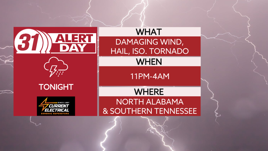
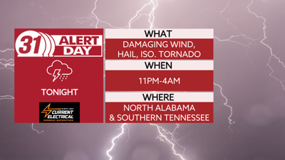
**31 ALERT DAY TONIGHT**
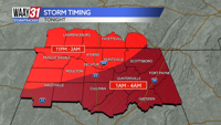
We will remain dry through the evening hours tonight before the line of showers and storms move in during the overnight hours. Right now timing wise looking 11pm-4am. Our main threats will be gusty winds and some hail along the line but we will have to watch for the potential for a tornado or two.

Storms are out of here by the time you are starting Saturday. The good news is we look to remain dry for the rest of Saturday with high temperatures warming into the middle to upper 80s.
Overnight Saturday into Sunday we could see more showers and a few storms move through with off and on rain possible throughout the day Sunday. Some of the storms could be on the stronger side but the threat is lower than what we will see tonight.
Middle of next week a cold front will move through and that will give us cooler weather with highs in the 70s and lows back down into the 50s.
TONIGHT: 31 ALERT DAY. Gusty winds and hail main threat. Lows near 70. Wind: SW 5-10 mph, gusts 20 mph.
SATURDAY: Rain ends early. Nice afternoon. Highs in the mid-80s. Wind: W 5-10 mph.